Where Precision Meets Efficiency!
Our Core Products
High-performance geospatial equipment & application software solutions.

1. High-Precision RTK GNSS Surveying System
Applications: Infrastructure, Land Survey, Topographic Surveying&Mapping
View All Products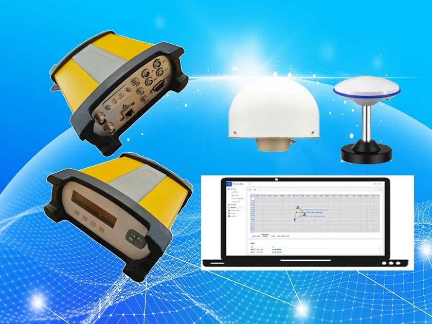
2. Monitoring GNSS Receiver & Solution
Applications: Landslide, Bridge, Dam Automation
View All Products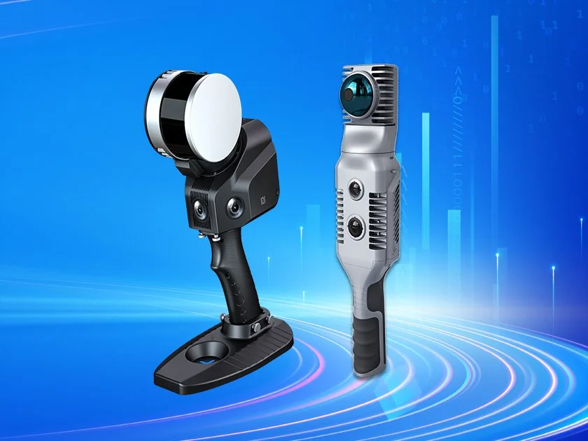
3. Handheld 3D Lidar Scanner
Applications: BIM, Forestry, Digital Twins, Architecture
View All Products
4. Total Station & Optical Instruments
Applications: Construction Engineering, Infrastructure
View All Products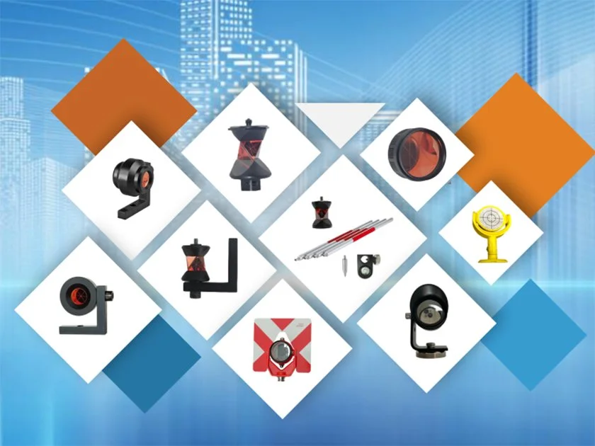

Geodex Technology | Construction & Surveying
Where Precision Meets Efficiency, Elevating Customers Success Together!
Established in 2012, Geodex has evolved from a dedicated provider of surveying equipment into a global leader in high-precision geospatial technology. We do more than manufacture high-quality hardware and software—we deliver comprehensive, highly responsive technical support to empower our clients worldwide.
Headquartered in the Guangdong-Hong Kong-Macao Greater Bay Area, we leverage China’s most vibrant innovation hub to redefine the boundaries of spatial technology across positioning, navigation, surveying, and construction. Our cutting-edge solutions serve critical sectors worldwide—including geospatial infrastructure for sustainable territorial development, land surveying, engineering construction, mining, and geo-hazard monitoring.World-Class Quality, Global Vision
Innovation is our core, and international standards are our foundation.
- Authoritative Certification: Our entire product range has successfully passed SGS EU Standard Tests, earning prestigious international certifications that guarantee world-class reliability and sub-centimeter precision.
- Multilingual Support: Both hardware devices and software interfaces are available in multiple languages to meet the diverse needs of our global clientele.
- Comprehensive Product Matrix: Our portfolio features cutting-edge geospatial technology for positioning, navigation, and construction surveying. Our products include Visual Survey RTK GNSS Receivers, Network Ntrip Rovers, CORS Base Stations, Monitoring GNSS Receivers, Geodetic & Construction Total Stations, SLAM Handheld 3D LiDAR Scanners, and high-accuracy monitoring reflectors and optical prisms. These instruments serve as the backbone for infrastructure, construction, urban planning, smart city development, and resource management worldwide.
A Global Footprint Built on Trust
Geodex has established a strong presence in markets across numerous countries. With over a decade of dedication to the global stage, and thanks to the trust and cooperation of our clients, we have built an outstanding reputation within the high-precision geospatial industry. Our commitment to excellence has earned widespread acclaim and a loyal customer base, both domestically and internationally.
Shared Success: Our Clients & Partners
At Geodex, we deeply value our clients and global partners. We believe that true growth is achieved together.
- For Our Users: We deliver high-quality, high-precision, high-efficiency surveying instruments that make field work easier and more productive.
- For Our Partners: We provide 360-degree comprehensive support—from reliable supply chains and marketing resources to responsive technical service—ensuring our partners thrive in their local markets.
We don't just sell equipment; we build long-term relationships to explore new market opportunities and shape the future of spatial intelligence together.
Our Mission in Action
Guided by our mission, "Where Precision Meets Efficiency, Elevating Customers Success Together!", Geodex is rapidly expanding its global reach while fostering growth alongside our customers and partners. We remain at the forefront of cutting-edge technology and geographic information trends, ensuring we provide the high-performance equipment and efficient technical service solutions our customers deserve.
Latest News
-
![Reviews on Geodex's Distributor Conference]()
Geodex Hosts Guinean Partner for Strategic Tech Exchange and Business Conference in Guangzhou
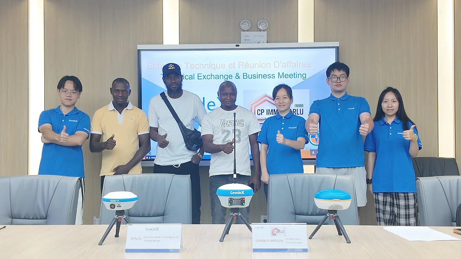
GUANGZHOU, CHINA — Geodex Technology recently welcomed its official Guinean distributor partner, CP IMMO-SARLU, led by Mr. Camara and his technical team, to its headquarters in Guangzhou for a high-level, three-day technical training exchange and strategic business conference.
-
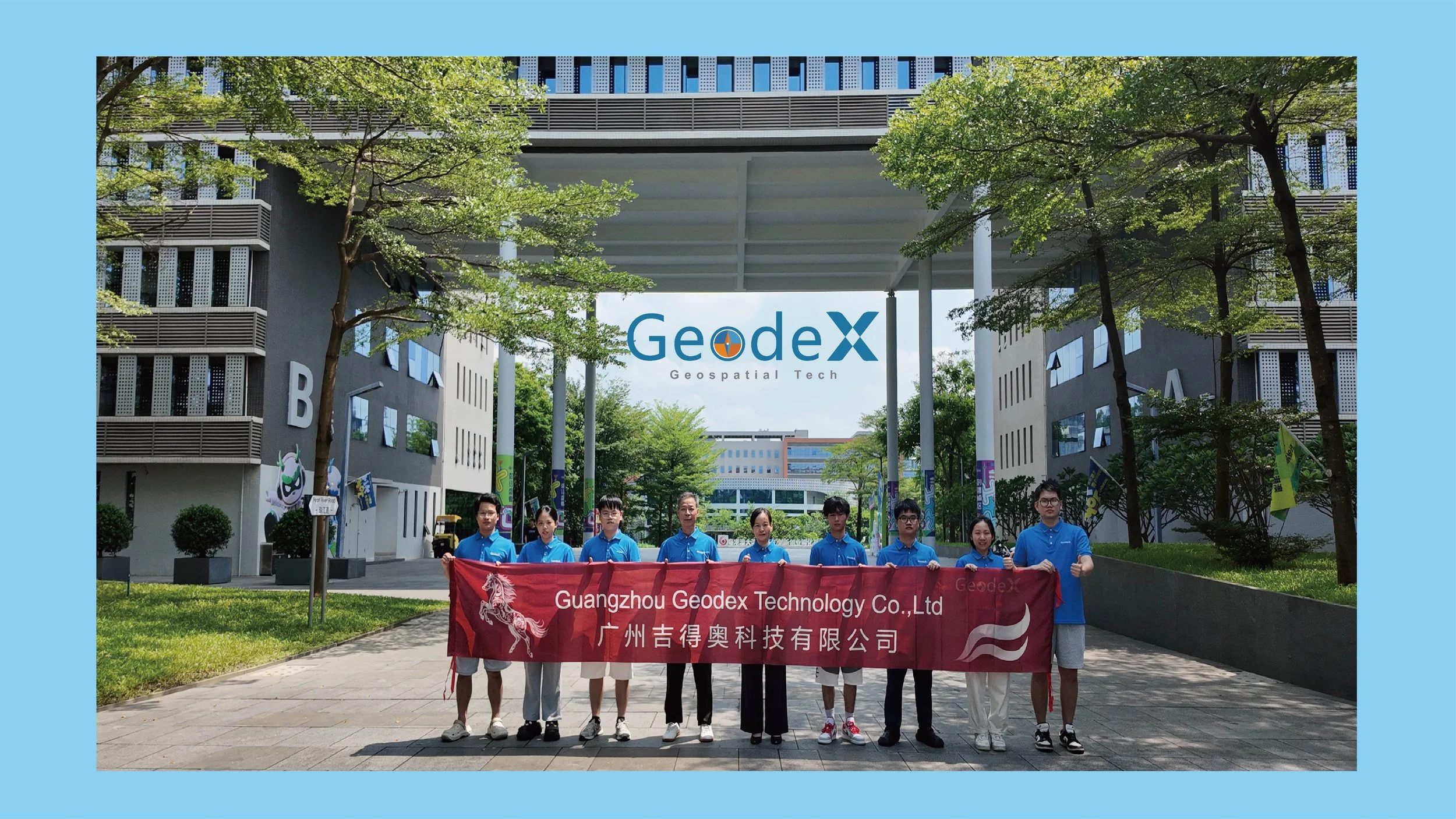
![Geodex Office Location & Geodex Team]()
Geodex Relocates Office in GAB!
GUANGDONG, CHINA — Geodex is thrilled to announce the official relocation of its regional office to the prestigious Guangdong-Hong Kong-Macao Greater Bay Area Innovation Incubation Base.
-
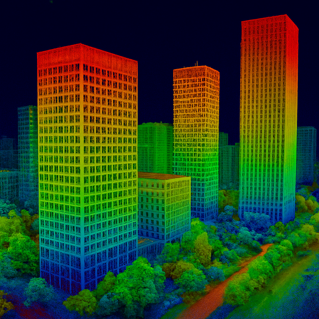
![Application of 3D Modeling Technology]()
Application of 3D Modeling Technology
Dec 5, 2024-With the rapid advancement of technology, 3D modeling technology is increasingly applied …
-
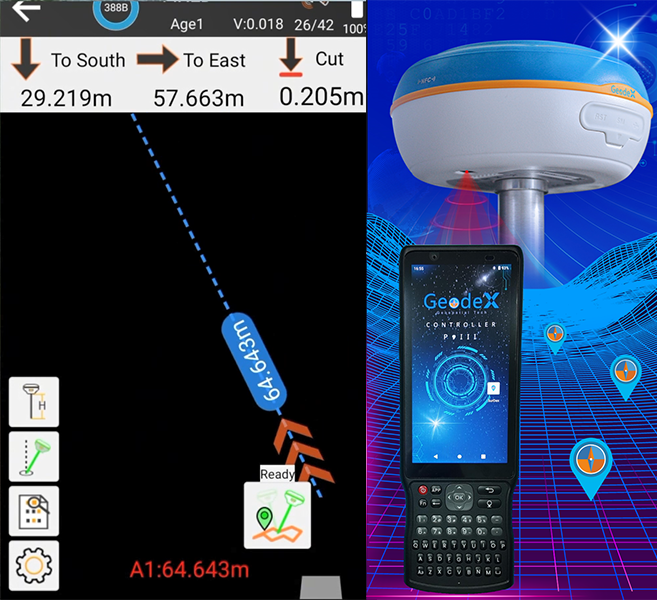
![Digital navigation screen showing distances to south and east, and a laser scanner device with a controller and a handheld device labeled 'GeodeX' for surveying or mapping.]()
RTK GNSS & AR Camera
Dec 15, 2024-The integration of RTK GNSS with Visual AR Camera technology is revolutionizing topographic…
-
![Geodetic GNSS Receiver]()
Geodex’s newly developed
Dec 25, 2024-Geodetic GNSS Receiver product RTK G60 pro hightlights on the 2024 National College Elite…


Get in Touch
Click the button to reach out, fast response within 24 hours!